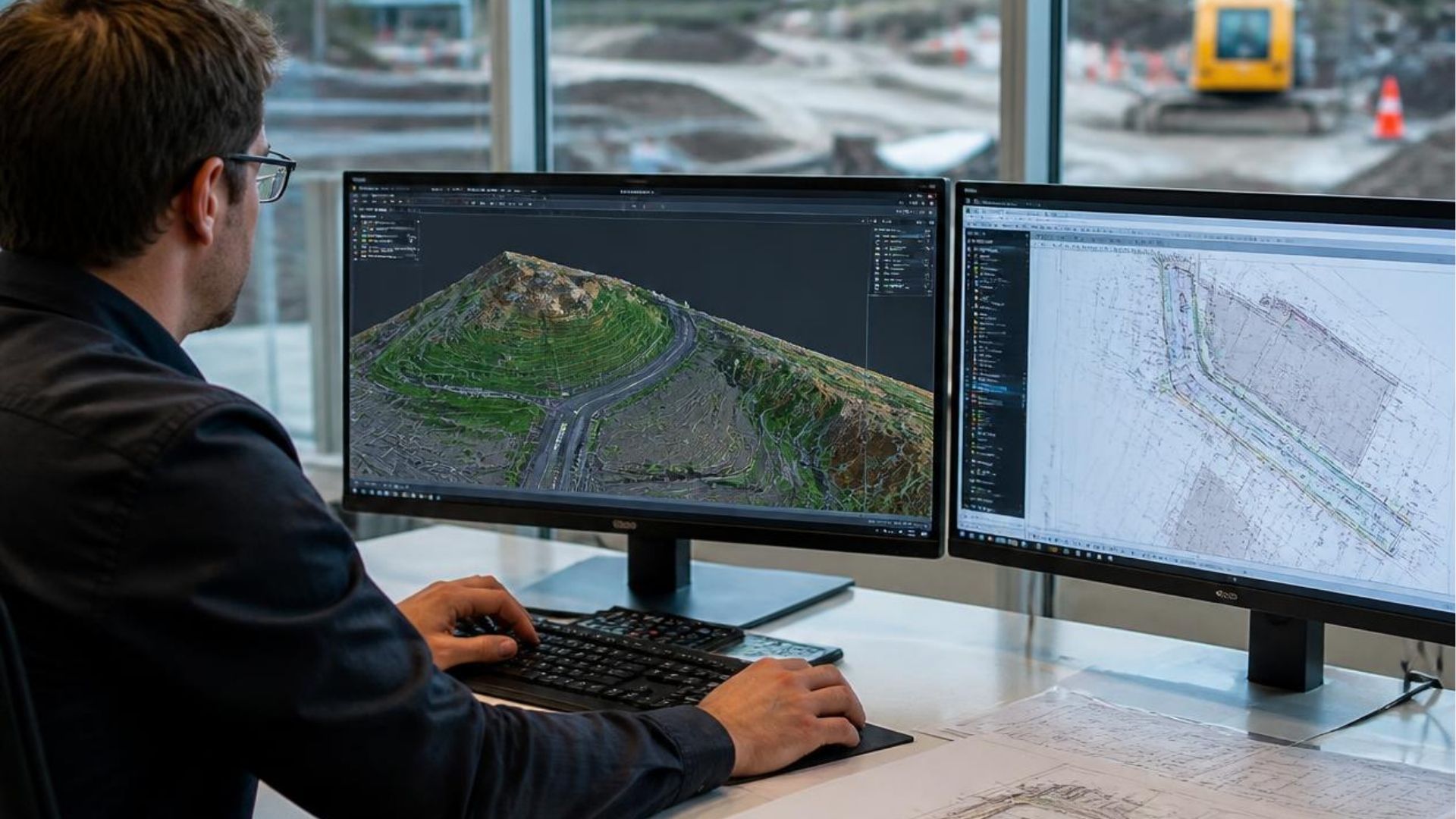
From Survey Data to Construction-Ready Deliverables
Pollard CAD bridges the gap between field information, engineering design, Civil 3D modelling, and final construction documentation.
Practical Civil 3D design, infrastructure drafting, and engineering technology support for projects across Western Canada.
Discuss Your ProjectEngineering projects don't always fail because the design is difficult. Sometimes the problem is simply capacity. Deadlines tighten, workloads increase, and experienced Civil 3D resources become difficult to find.
Pollard CAD provides flexible engineering technology support that integrates directly with existing project teams — helping turn survey information and engineering design intent into accurate, coordinated, construction-ready deliverables.
Pollard CAD bridges the gap between field information, engineering design, Civil 3D modelling, and final construction documentation.
Technical support can be provided as individual drafting tasks, project-based production, or integrated Civil 3D support alongside an existing engineering team.
Civil 3D production support for infrastructure and land development projects, including surfaces, alignments, profiles, corridors, grading, utilities, and construction drawing packages.
Civil design and documentation for roadways, municipal utilities, site development, drainage, stormwater systems, and associated infrastructure.
Survey data processing, existing-ground surface development, terrain modelling, point management, as-built information, and survey-to-CAD workflows.
Structural and fabrication drawing support for precast components, bridges, specialty structures, and engineered projects using CAD and Revit workflows.
Construction documentation, field verification, technical coordination, QA/QC support, and as-built documentation informed by real-world construction experience.
Three-dimensional models and visualizations for design review, project communication, concept development, stakeholder presentations, and construction planning.
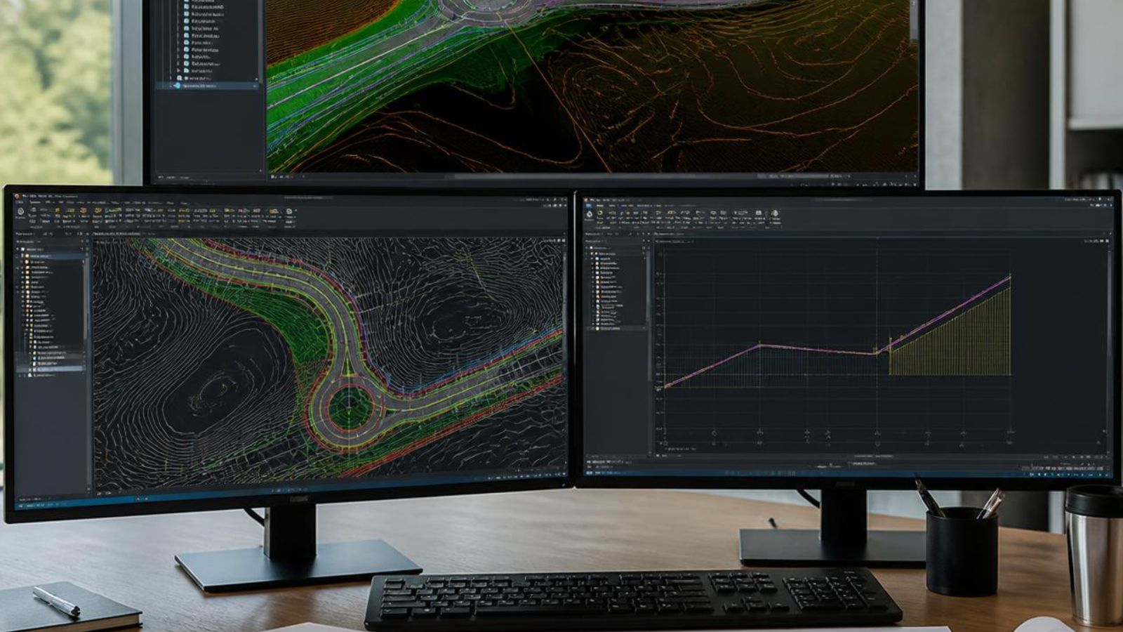
Civil 3D provides the foundation for surfaces, grading, corridors, profiles, alignments, utilities, and coordinated infrastructure documentation.
Pollard CAD is designed to provide additional technical capacity without requiring an engineering firm or contractor to add permanent staff.
Bring Pollard CAD into a specific project, drawing package, or design phase when additional production capacity is required.
Keep projects moving when internal Civil 3D resources are stretched by deadlines, staffing demands, or competing workloads.
Provide ongoing Civil 3D production support as an extension of your existing engineering or design team.
Experience spans a wide range of civil infrastructure, development, environmental, structural, and resource projects throughout Western Canada.
Residential, commercial, resort, and mixed-use developments including roadway design, grading, servicing, utilities, and stormwater management.
Water, sanitary sewer, storm sewer, road rehabilitation, utility upgrades, and associated municipal construction documentation.
Roadway infrastructure, bridge approaches, access roads, grading, drainage, and supporting civil design information.
Wetland restoration, fish passage, drainage improvements, terrain modelling, survey processing, and restoration construction support.
Civil infrastructure, as-built documentation, QA/QC support, survey information, and technical drawing production for resource projects.
Bridges, precast components, specialty structures, fabrication drawings, and structural documentation.
Experience supporting civil infrastructure, development, structural, environmental, transportation, mining, and construction projects across Western Canada.
A background spanning Civil 3D production, survey interpretation, construction supervision, inspection, QA/QC, and project execution.
Certified Civil Engineering Technologist (AScT) and CPWI Level 2 Certified Inspector providing practical engineering technology support.
The objective is simple: take available project information and turn it into accurate, coordinated, usable engineering deliverables.
Survey Data & Existing Conditions
↓
Civil 3D Surface Development
↓
Design & Engineering Documentation
↓
Review & Coordination
↓
Construction-Ready Deliverables
Whether you need help with a specific drawing package, additional Civil 3D production capacity, or technical support throughout an entire project, Pollard CAD can integrate with your existing workflow.
Request a Quote