Engineering Precision. Built in CAD.

Civil 3D drafting, infrastructure modelling, engineering technology support, and visualization services developed from 15+ years of field and design experience.

Discuss Your Project

15+

Years Engineering Experience

60+

Projects Supported

50+

Dam Inspections Completed

50+

Forestry Bridge Designs Supported

Practical Engineering Technology. Proven in the Field.

Pollard CAD provides engineering technology support for civil infrastructure professionals through Civil 3D modelling, technical drafting, survey integration, construction documentation, and visualization. Experience includes municipal infrastructure, environmental restoration, mining, transportation, renewable energy, and development projects.

Why Engineering Firms Choose Pollard CAD

Engineering Experience

15+ years supporting civil infrastructure, municipal projects, construction documentation, survey integration, and field inspection.

Production Ready Deliverables

Civil 3D models, drawings, surfaces, and technical documentation developed with practical understanding of engineering standards and construction requirements.

Flexible Technical Support

Scalable engineering technology support helping project teams increase capacity without increasing permanent overhead.

Civil 3D Drafting & Engineering Technology Services

Pollard CAD provides specialized engineering technology support for civil infrastructure professionals requiring accurate, efficient, and construction-ready documentation.

2D CAD Drafting

Production drawings, plan sets, and engineering documentation prepared for municipal and civil infrastructure projects.

Civil 3D Design & Modeling

Surface modelling, grading design, corridors, alignments, profiles, and digital terrain models developed for engineering workflows.

Infrastructure Visualization

3D modelling and visualization workflows supporting project communication, design review, and infrastructure presentation.

Featured Civil Infrastructure Projects

Explore selected project experience demonstrating Civil 3D modelling, infrastructure design support, survey processing, and construction documentation across municipal, environmental, mining, transportation, and development projects.
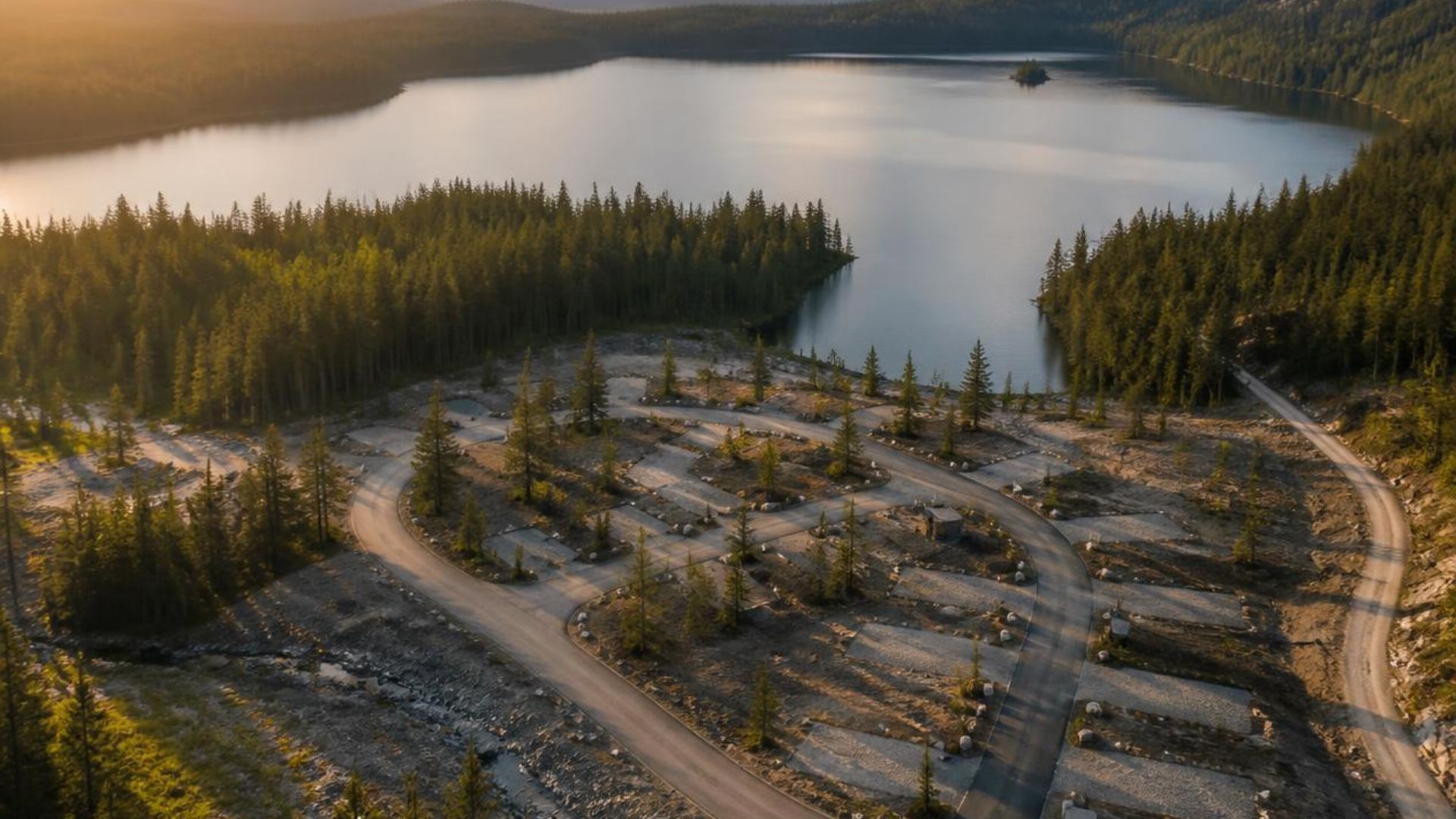
20 Minute Lake Campground infrastructure project

20 Minute Lake Campground

Supported recreation infrastructure improvements through grading design, surface modelling, drainage considerations, and construction documentation.
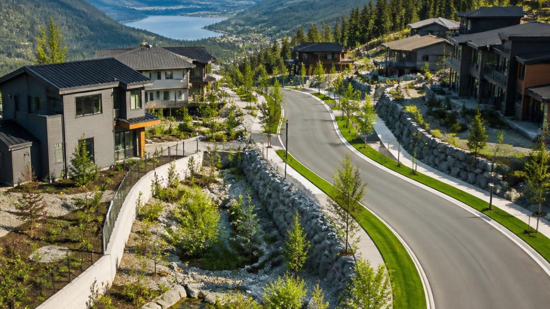
Whistler Place Development project

Whistler Place Development

Civil infrastructure design support including subdivision servicing, grading concepts, surface modelling, and engineering documentation.
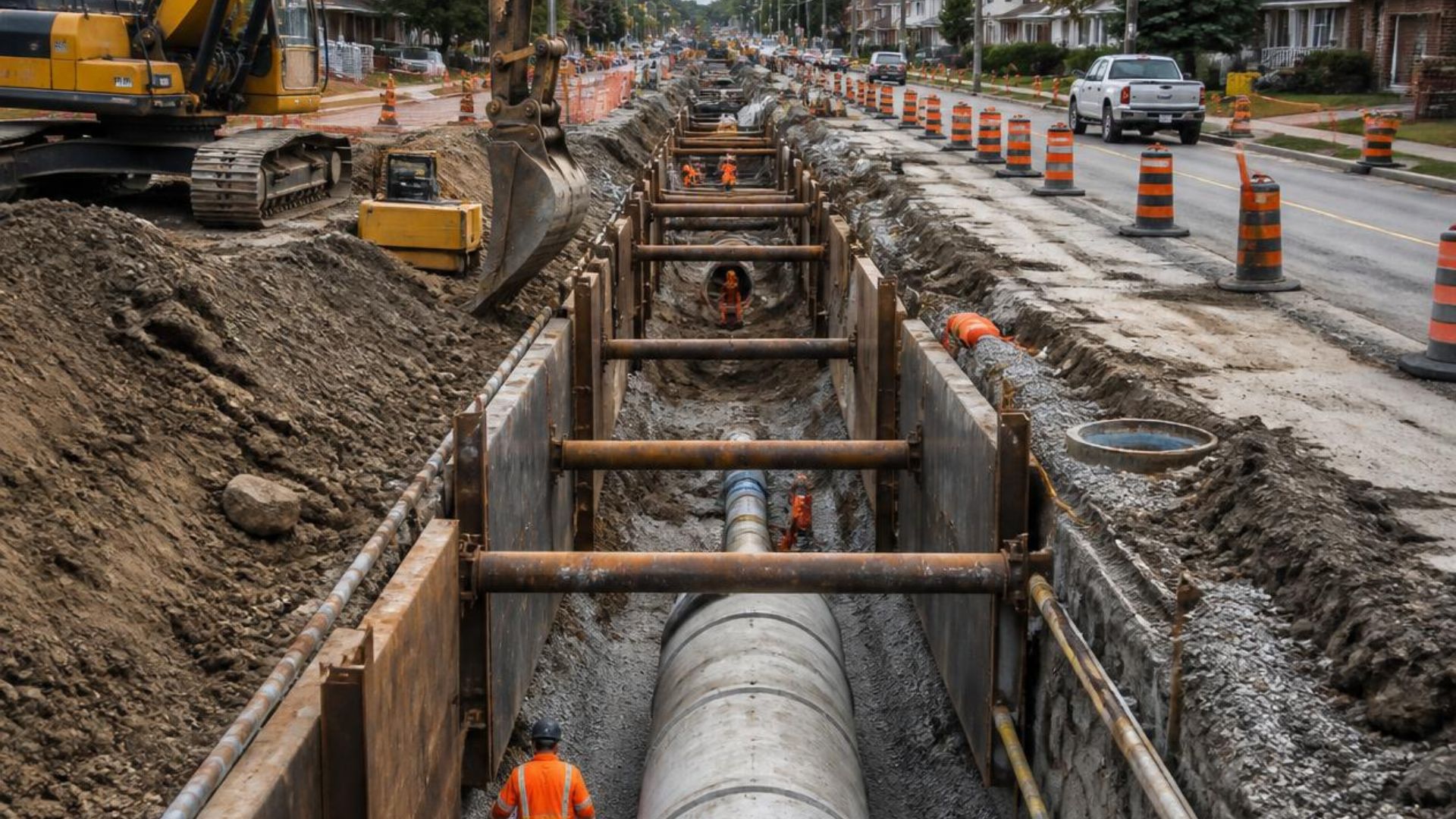
Stormwater infrastructure project

Stormwater Infrastructure

Supported municipal infrastructure upgrades through storm servicing design, drainage modelling, utility coordination, and construction drawings.


View Complete Project Portfolio

Supporting Civil Infrastructure Projects From Concept to Construction

Pollard CAD provides flexible engineering technology support to help project teams efficiently develop drawings, models, surfaces, and construction documentation. With practical experience in civil infrastructure, survey integration, and construction workflows, Pollard CAD helps bridge the gap between design concepts and built projects.

Explore Services

Civil Engineering Technology Support Across British Columbia

Pollard CAD partners with engineering firms, surveyors, contractors, municipalities, and developers throughout British Columbia to provide Civil 3D drafting, digital terrain modelling, grading design, survey processing, and technical CAD support for infrastructure projects.

Need Engineering Technology Support?

Whether supporting engineering consultants, contractors, developers, or municipalities, Pollard CAD provides flexible technical support from concept through construction.


Discuss Your Project